John Muir Trail Complete!
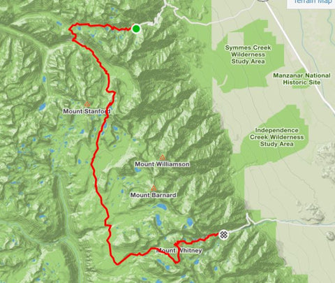
Day 7 Onion Valley to Mt. Whitney: 42 miles
Continued from Part 1 of the "John Muir Trail with a 5 lb Pack"
After a 2 week recovery, I made it back on the trail an hour before sunrise on Friday. The weather forecast called for afternoon thunderstorms. The plan was to make it over Mt. Whitney and down the mountaineer's route before sunset to dodge any storms over the 3 high passes (Kearsarge Pass 11,700 ft, Forester Pass 13,153 ft, and Whitney summit 14,500 ft).

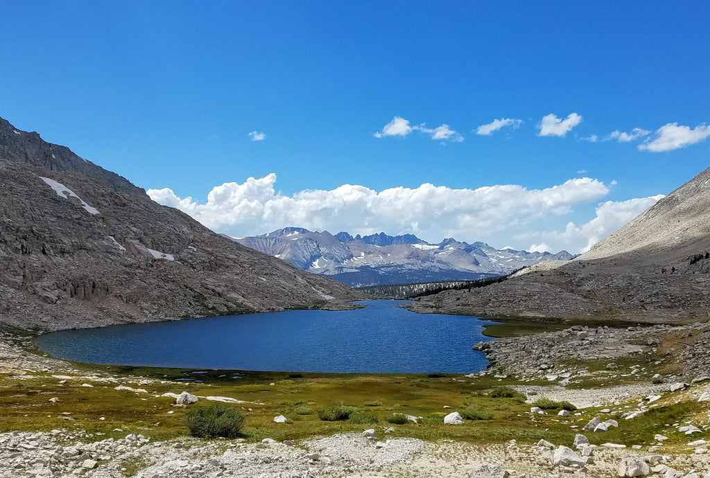
After going over Kearsarge pass and through 6 miles of the next basin, I caught the first view of Forester Pass on the skyline.

Looking up at Forester Pass

View looking onward from the top of Forester Pass

The mountains took on a different character at times. They looked more like the far southern Sierras with a bit less green and running streams.
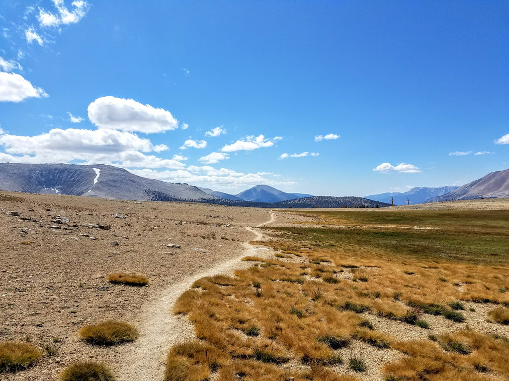
Approaching the backside of Mt. Whitney, you cannot quite see the summit.

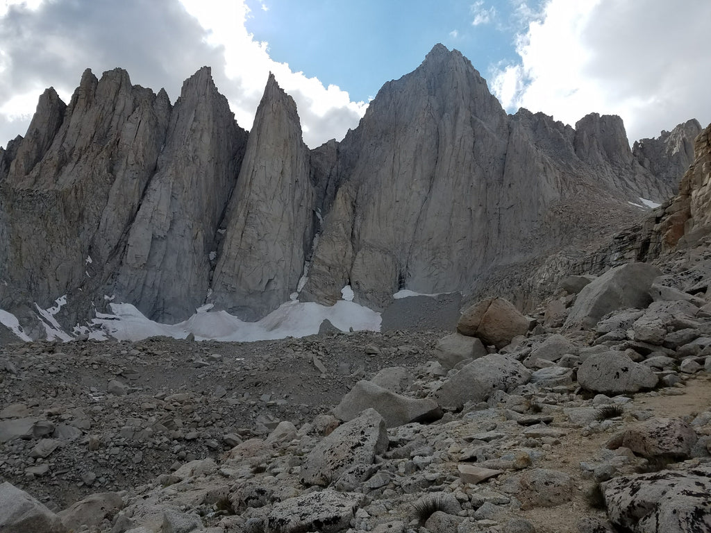
Mt. Whitney from the backside

Mt. Whitney from the front

Standing at the base of the backside of Mt. Whitney looking west.
Standing on the summit of Mt. Whitney. The looming thunderstorms scared everyone off the mountain and I had it all to myself. The JMT trail ends here at the highest point in the Continental USA. Feeling tired from the run, but great to have made it!
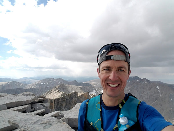
Looking back on the entire JMT adventure, I feel incredibly grateful to have made it and seen so much of the Sierras from the inside. There’s not a single humdrum uninteresting mile along the entire 220 mile route from Yosemite to Mt. Whitney. Countless lakes mirror jagged peaks, waterfalls cascade and thunder over rocky cliffs, high steep snow-covered marmot-filled mountain passes challenge the body and mind, and deer-filled green meadows lighten the soul. It's all topped off with an ascent of the highest summit in the Lower 48 offering 360-degree views of the entire United States and beyond.
Read about the entire journey in "John Muir Trail with a 5 lb Pack"

 Search


